County 044. Headquarters in Migori Town. Created with Kenya’s counties on 4 March 2013.
Migori covers about 2,586 km² in south-western Kenya, in the old Nyanza Province.
It borders Homa Bay County to the north, Kisii County to the northeast, Narok County to the southeast, the Republic of Tanzania to the south and west, and Lake Victoria to the west. The Kuja and Migori rivers drain the county. The shore includes Muhuru Bay, a fishing beach on the lake.
The A1 Nairobi–Tanzania road cuts through Rongo, Awendo and Migori Town and leaves Kenya at Isebania. That border post is one of the busiest land crossings in this part of East Africa.
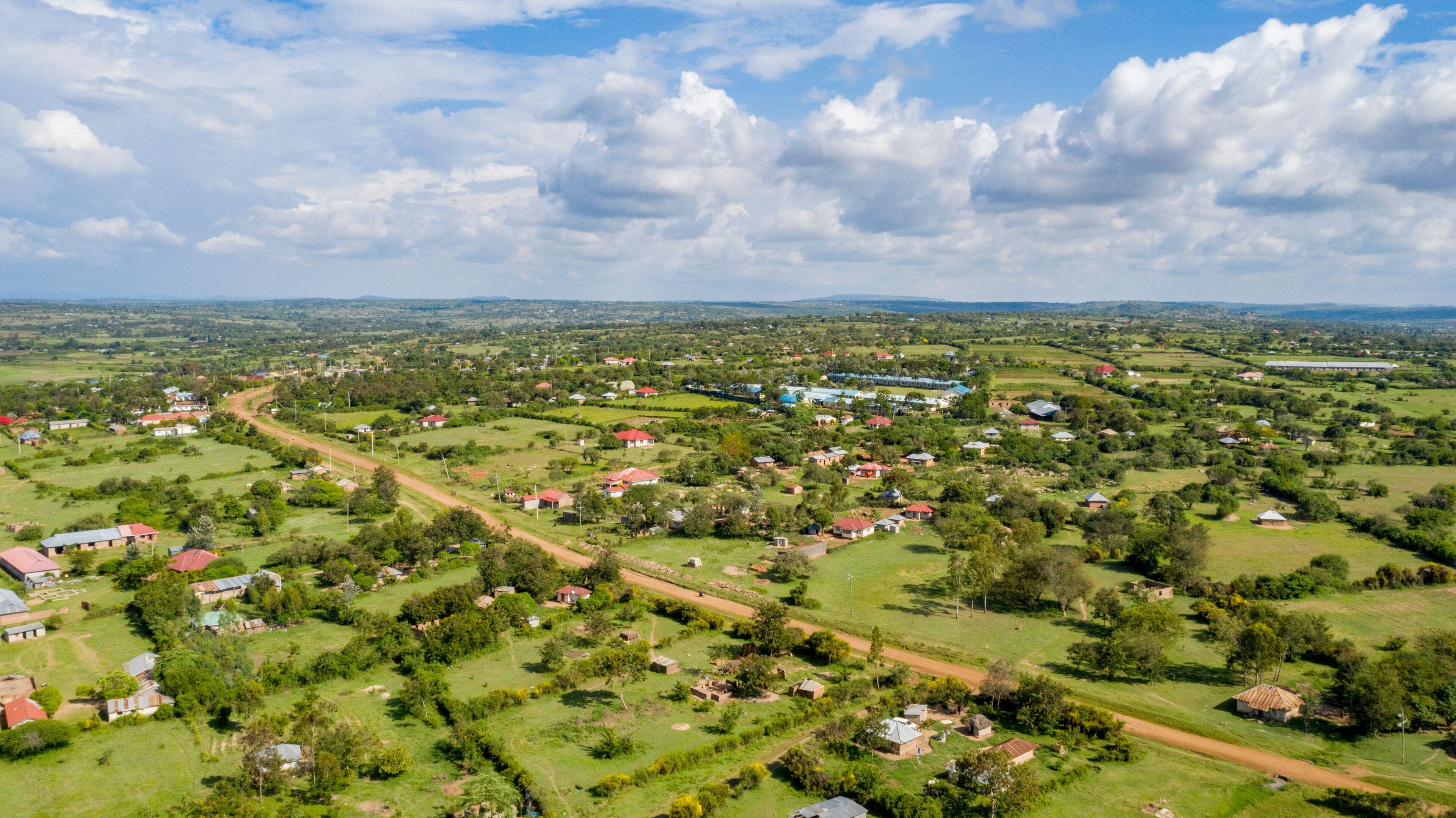
Luo, Kuria, Suba and Abagusii communities form the core, alongside Luhya, Somali, South Asian, Arab, Kikuyu and Nubian residents. Kuria East and Kuria West are the Kuria heartland; the lake constituencies are largely Luo and Suba.
Agriculture accounts for most employment. Food crops include maize, beans, cassava, sweet potatoes and vegetables. Sugarcane and tobacco are the main cash crops. Sony Sugar at Awendo is the large mill. Kuria and Suna West also raise livestock.
Fishing on Lake Victoria, artisan gold mining along the Macalder belt, and trade through Migori Town and Isebania. Workshops — mechanics, furniture, tailoring, welding — fill the towns.
Figures are from the 2019 Kenya Population and Housing Census. Ward counts are the current electoral wards.
208,513 people · 7 wards · Kehancha and the Isebania border.
176,162 people · 7 wards · Macalder, Muhuru Bay and the lake shore.
141,448 people · 5 wards.
128,890 people · 4 wards · Part of Migori Town.
124,587 people · 4 wards · Rongo Town, on the A1.
122,674 people · 4 wards · County headquarters.
117,290 people · 4 wards · Sony Sugar and the sugar belt.
96,872 people · 5 wards · Kegonga and Ntimaru.
The county’s own 2023–2027 plan sets the development campaigns. The General Election that chooses the next leadership is on 10 August 2027.
Campaigns